At Ukur Tekun, we do more than measure land — we create pathways for future developments. With over 30 years of trusted expertise, we deliver reliable surveying and geomatics solutions for projects of all sizes, from urban growth to national infrastructure.
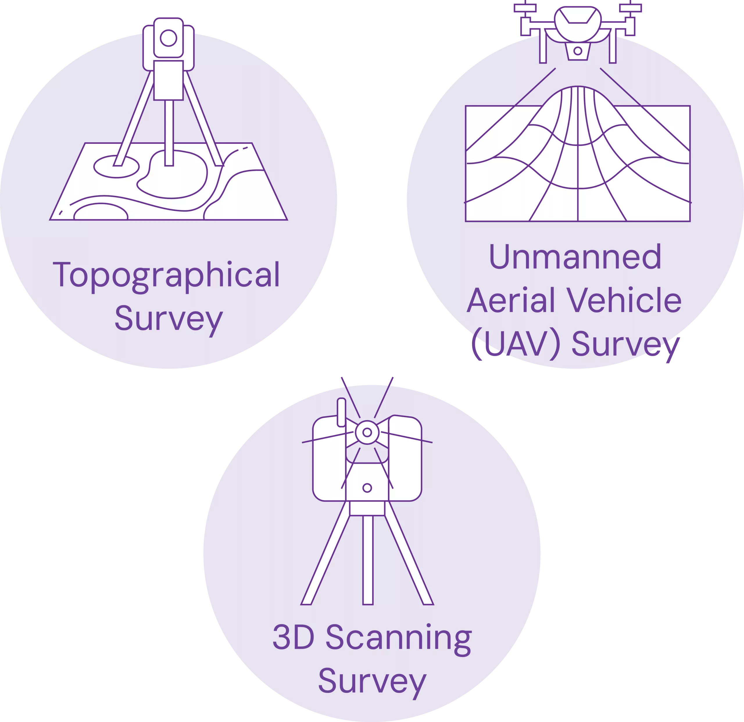
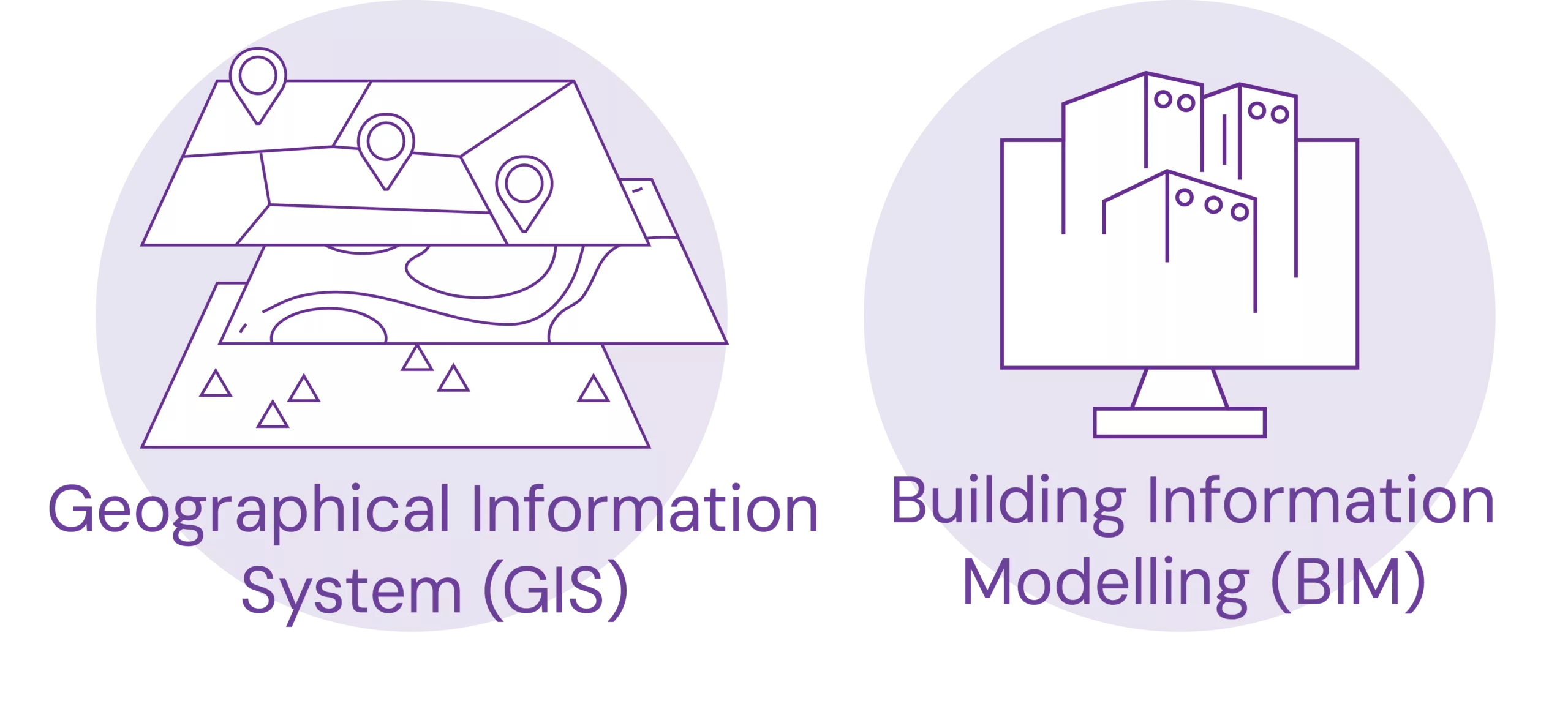
By integrating traditional surveying principles with modern technologies like Unmanned Aerial Vehicle (UAV) mapping, Geographical Information System (GIS), Building Information Modelling (BIM), Ground Penetrating Radar (GPR), 3D laser scanning, and Global Navigation Satellite System (GNSS), we are able to tackle increasingly complex challenges across urban, industrial, and environmental landscapes.
Our clients value us not only for the data we provide, but for the regulatory compliance we help them achieve and uphold throughout the project life cycle.
Licensed under the Licensed Land Surveyors Act 1958 (Act 458), governed by the Land Surveyors Board Malaysia
Certified in Underground Utility Detection and Mapping (CUUDM)
Accredited for hydrographic surveying services by:
The International Federation of Surveyors (FIG)
The International Hydrographic Organization (IHO)
The International Cartographic Association (ICA)
30+ Years of Experience
Established in 1994, with over 6,500 projects delivered across residential, infrastructure, utility, and coastal developments nationwide.
Full-Spectrum Expertise
Our team brings end-to-end expertise in land surveying, including strata title survey, UAV mapping, 3D laser scanning, BIM, and GIS, delivering every project with precision and professionalism.